
Book 6, Question 108
Why Do We Use Latitude and Longitude?
Latitude and longitude are two numbers that name any spot on Earth. Latitude tells how far north or south of the equator you are. Longitude tells how far east or west of a line through Greenwich, in England.
From the book
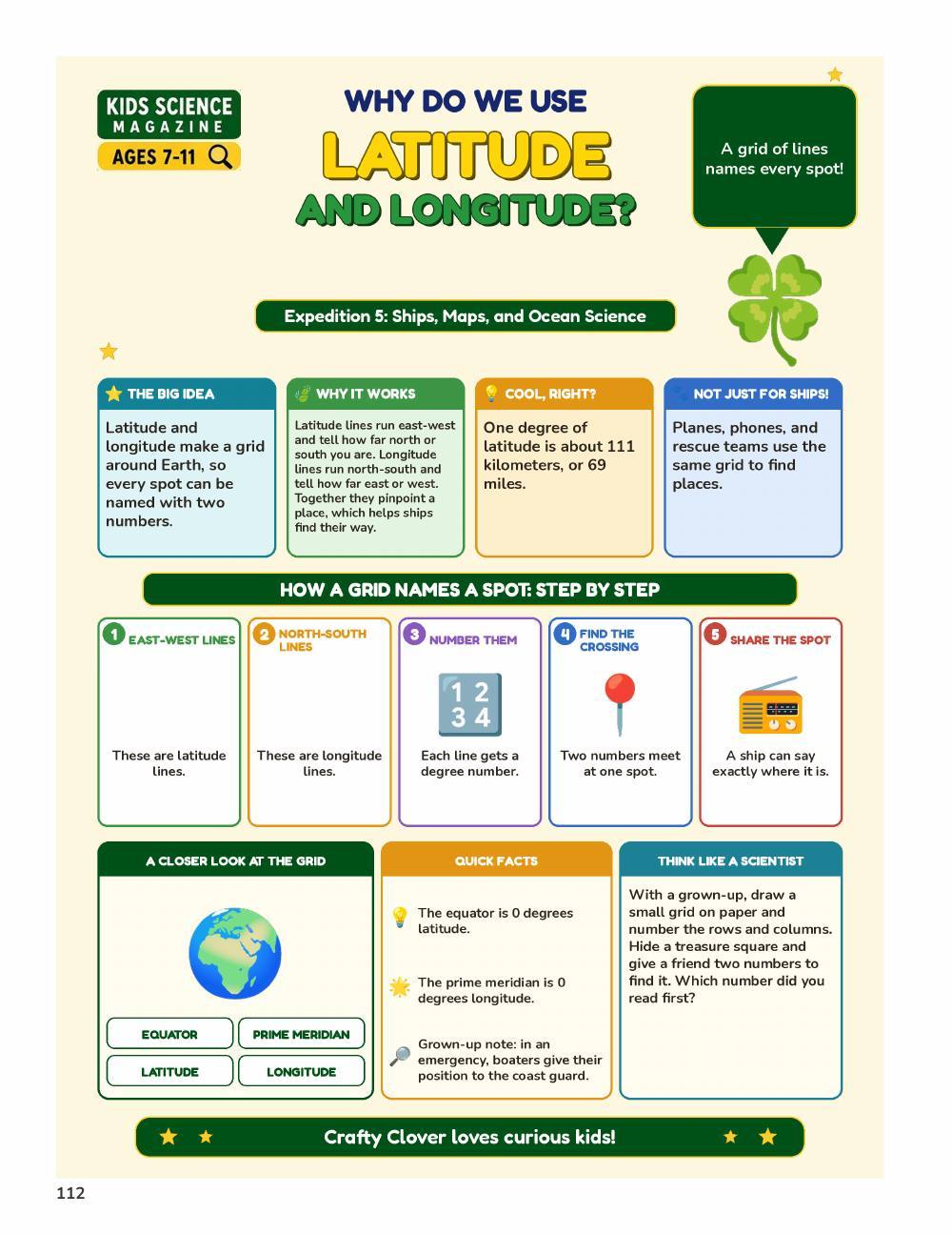
Page from A Million Whys Book 6
More fun facts
- Any place on Earth can be named with just two numbers: its latitude and its longitude.
- Latitude tells how far north or south of the equator a place is, up to 90 degrees at each pole.
- Longitude tells how far east or west a place is from the prime meridian, a line that runs through Greenwich, England.
- The equator is 0 degrees latitude and splits Earth into the Northern and Southern Hemispheres.
- Latitude lines are always the same distance apart, but longitude lines are farthest apart at the equator and meet at the poles.
- Each degree of latitude covers about 111 kilometers (69 miles) of Earth's surface.
- The Tropic of Cancer and the Tropic of Capricorn, at about 23 degrees north and south, mark the edges of the tropics.
Sources: NASA, NOAA Ocean Service, NOAA Ocean Service
Questions kids ask
What is the prime meridian?
It is the line of 0 degrees longitude, and it runs through Greenwich, England.