
Book 6, Question 107
Why Are There Lines on a Nautical Chart?
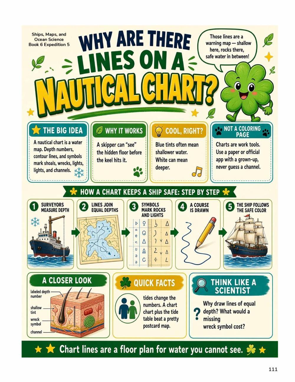
A nautical chart is a map for the water. Its lines and numbers show depths, shallow spots, rocks, wrecks, and safe channels. That lets a ship's captain see the seafloor before the ship ever bumps it!
From the book
Page from A Million Whys Book 6
More fun facts
- The numbers on a nautical chart are soundings, which are measurements of how deep the water is.
- Lines called depth contours connect water depths, a lot like the lines on a land map that show hills.
- Charts also warn sailors about dangers and show safe places to anchor.
- Nautical charts use colored lines, shapes and symbols to show what is found from the sea surface down to the sea floor.
- Depending on the depth, the bottom may be rocks, sand or shallow shoals, and charts help sailors know what is there.
Sources: NOAA Ocean Service, NOAA, NOAA Ocean Service
Questions kids ask
What do the numbers on a sea chart mean?
They are soundings, which tell how deep the water is in that spot.