
Book 6, Question 116
Why Do Satellites Watch the Sea From Space?
From space, one picture can show a storm, a bloom of tiny plants, and a current all at once! Satellites measure sea color, sea height, temperature, and ice. They turn those signals into maps.
From the book
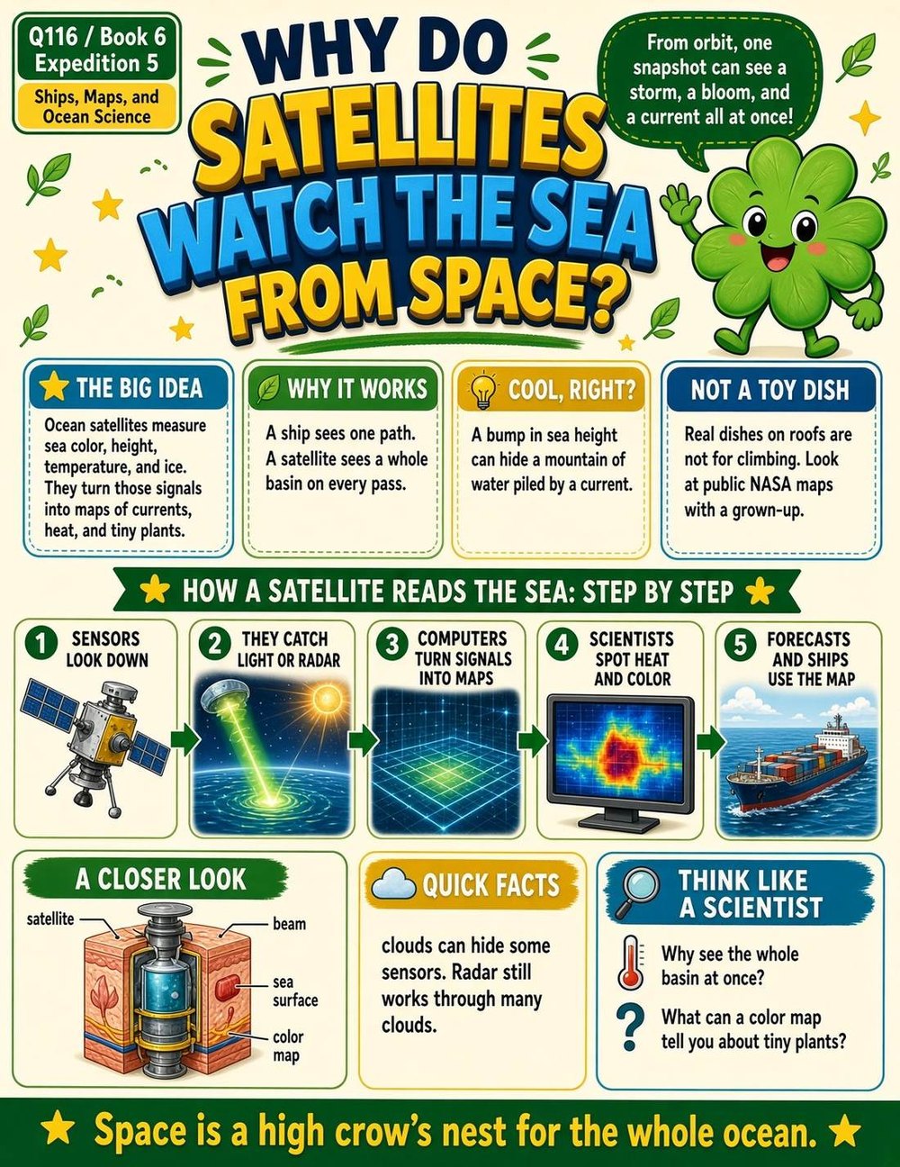
Page from A Million Whys Book 6
More fun facts
- Satellites can measure the sea's surface temperature, how high the waves are and which way they move, when it is not cloudy.
- From space, satellites can see the color of the ocean.
- Satellites tell us about the shape of the seafloor, coral reefs and sea ice.
- Satellite radar can measure sea level all around the world very accurately.
- Satellite pictures of sea temperature show how ocean water moves around.
- Satellites also pass along emergency beacon signals and track hurricanes.
Sources: NASA, NOAA Ocean Service, NOAA
Questions kids ask
Can satellites see through clouds to the sea?
Some sensors need clear skies to measure the sea surface, so clouds can block the view.