
Book 6, Question 113
Why Is the Seafloor Mapped in Strips?
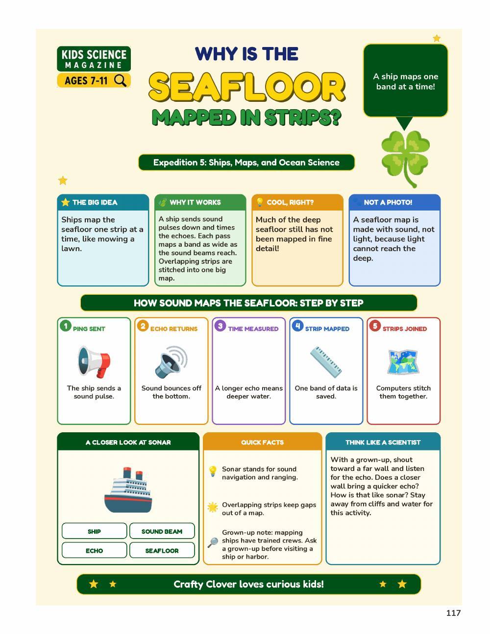
The ocean is huge, so one ship can only see a skinny strip at a time. A mapping ship uses sonar that sees a wide band, called a swath, under the hull. Many strips side by side make a whole map, like mowing a lawn!
From the book
Page from A Million Whys Book 6
More fun facts
- The ocean covers more than 70 percent of Earth, yet only a small part of the seafloor has been mapped in detail.
- Mapping the seafloor with sonar from a ship takes a lot of time.
- Early sonar tools called fathometers measured the depth only straight below the ship.
- NOAA Ship Okeanos Explorer has mapped more than 2 million square kilometers (772,204 square miles) of seafloor.
- Satellites can also map the seafloor from space, which helps with underwater navigation.
Sources: U.S. Geological Survey, NOAA Ocean Exploration, NASA Science
Questions kids ask
Can the seafloor be mapped without a ship?
Yes. Satellites can map the shape of the seafloor from space.